
GeoRoundup #1
Guillaume Sueur
Why such a review ?
With the time being, I find it more and more frustrating to gather valuable information about what is happening in the Geo World. Now that Twitter is gone, but Bluesky hasn’t really made the cut yet, it seems that LinkedIn is the place where most of us try to share insights and project updates. However, it comes through an uncontrollable timeline, making things you wanted to revisit disappear while bogging everything down with gibberish ads, self-promotional posts, and forgettable statements. As the long-form spatial writing still seems to be a thing, I find it useful and important to keep track of what caught my attention in the never-ending feeds we are expected to absorb continuously. Enough self-justification -— let’s get to the point.
QGIS Geoparquet plugin update
If you want a new geoformat to become popular you definitely need to embed it in some of the most popular geotools around. When this geoformat is the linchpin of the Cloud-Native Geospatial (r)evolution, you may want to do more and allow easy access to online data. That’s what the Geoparquet plugin does remarkably with seamless integration of Overture datasets into your Qgis projects. It is one of the several projects led by Chris Holmes on the Cloud-Native Geospatial ecosystem, and it now gathers more contributors. As it can be tricky for Mac users to set up a proper working environment (since the MacOS QGIS version still ships with an older GDAL version), this is how I have it done, thanks to this QGIS Github thread.
brew install micromamba
"${SHELL}" <(curl -L micro.mamba.pm/install.sh)
source ~/.zshrcd
micromamba create -n qgis
micromamba activate qgis
micromamba install -c conda-forge qgis libgdal-arrow-parquet
pip install duckdb scipy matplotlib
micromamba run qgis
QGIS still throws an error while launching but but it does not prevent it from operating normally., and you can browse the plugins repository to download and activate the Geoparquet plugin which will make it easy to download Overture Maps, Planet and Foursquare datsets direcly on your map extent, as well as connect to other custom files hosted online. You don’t need the plugin to start working locally with the Geoparquet format and definitely get rid of all your old shapefiles by converting them to the new hype.
Country Boundary Viewer
Daniel O’Donohue is best known for his remarkable MapScaping Podcast, “a podcast for the geospatial community”, but here he comes with a neat little utility tool on a webpage that allows you to download various administrative boundaries across standardized levels (from ADM0, country, to ADM3, municipalities). While it may not be ideal for fully drilling down into some countries—like France, which has more levels than that and more administrative bodies to govern them, sometimes contradictorily—it is definitely very helpful if you need to combine different countries or simply want to avoid the hassle of finding the right website for each.
A duck with a window…
DuckDB is defintely the new power tool for any data and geodata analyst and deserves to be part of the geohacker kit nowadays. It comes with pre-built binaries for all major platforms which makes its adoption even easier. For those still a bit reluctant with a console-only machinery, the last major 1.2.1 version came with an great integrated UI you can easily activate :
duckdb -uior
duckdb -ui [database-name]and see how the magic happens !
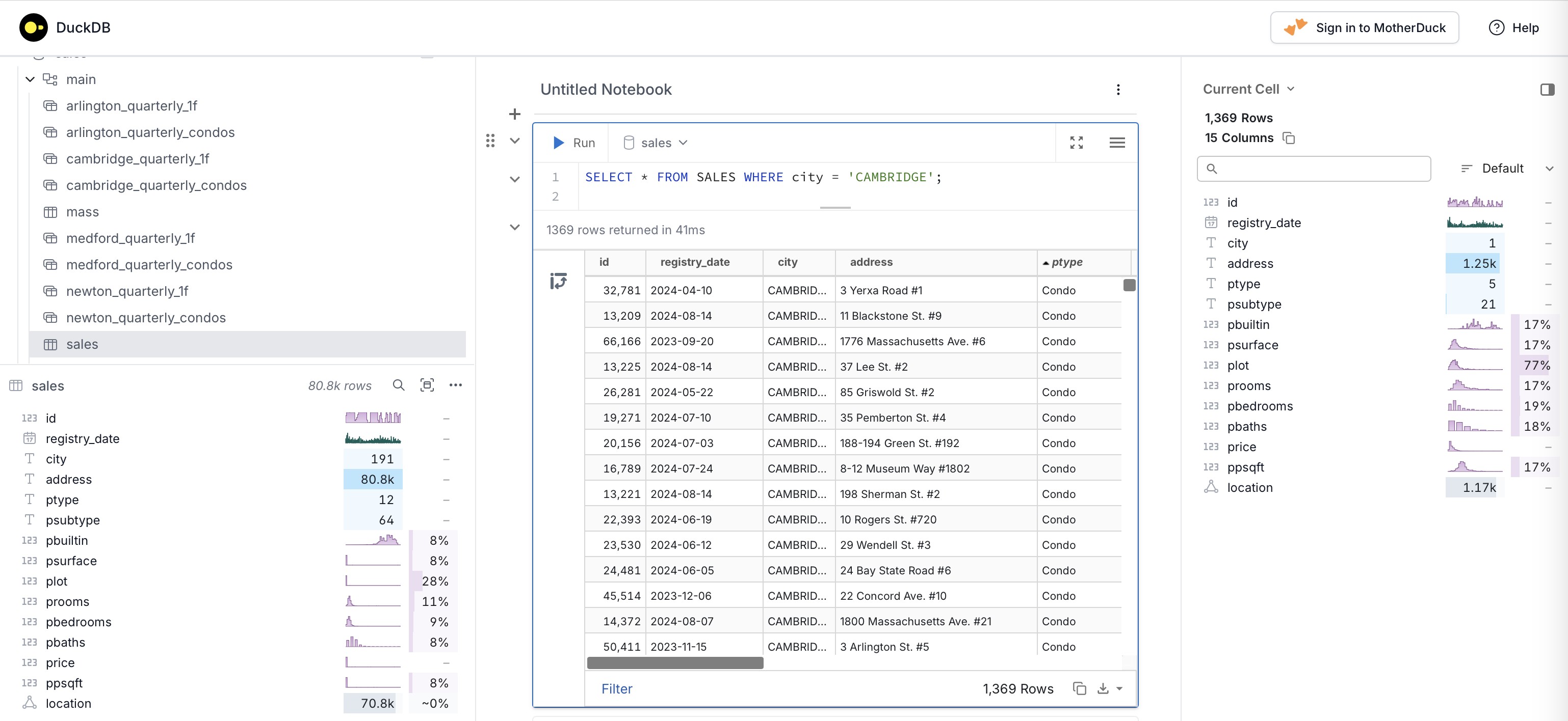
In addition to the usual lists and SQL console window, you have insightful statistics on both the database elements (tables, views…) and your current query and can keep track off your tasks in the notebook-like SQL console. Amazing !
H3 update
As the Uber-originated H3 grid is getting more popular, its inventor, Isaac Brodsky, is implementing more useful tools to get the best out of it. Last week he announced a full H3 grid support in Fused.io and a very user-friendly H3 viewer on the main website. H3 for the masses !
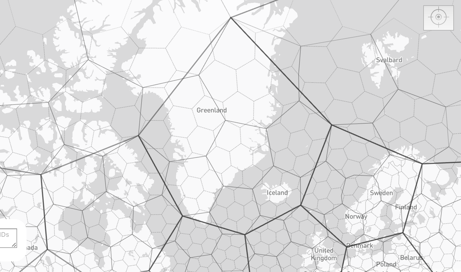
Pretty mesmerizing to see how the hexagons get reshaped in the extreme latitudes to absorb the Earth’s sphericity.
S3 requests helper function
Connecting to an S3 bucket through code can often be a total pain, and debugging can be even worse, involving the deciphering of cryptic error messages — sometimes feeling closer to “f*** y**” than anything else. Once again, Paul Ramsey is bringing us clarity with a little PL/pgSQL script that performs a simple yet complex GET HTTP request to an S3 bucket, with all the headers, keys, and IDs that are so cumbersome to put together. Not only is it pretty useful as such, but it is also readable enough to be easily transposed into any language you need to use to access your S3 datasets!
Satellogic’s Open Satellite Feed
When I read such a fascinating post by Mark Litwintschik, I wish I was more a raster person than I actually am, to grab its whole gist and bring to light the dark matter of satellite imagery with the same talent. I keep that here for later, hopefully.
Upcoming gatherings and conferences coming soon
On my list so far :
- Cloud-native Geospatial Conference, Snowbird, UT, April 30 - May 2
- PgConfDev, Montreal, QC, May 13-16
- State of the Map US, Boston, MA, June 19-21